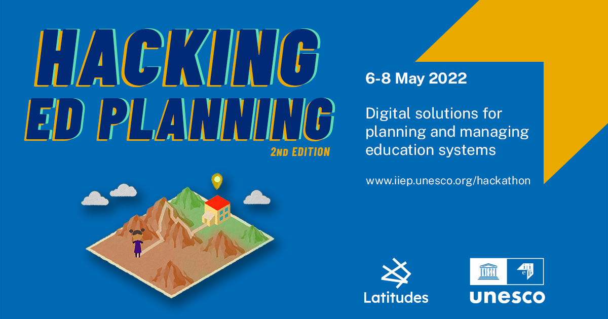
Hacking EDplanning: IIEP's hackathon
facebook_yellow_copy.jpg
Everything digital has penetrated teaching and learning – but it has yet to fully integrate into the field of educational planning and management. At IIEP-UNESCO, we see great potential for computer science, geospatial and big data, and other types of technology to offer new solutions in the way education systems function and cater to the specific needs of the communities it serves. That is why we have teamed up with Latitudes, a tech for good network organization, to host Hacking EDplanning, IIEP-UNESCO’s hackathon.
How does Hacking EDplanning work?
Hacking EDplanning is an event that brings together developers and educational planners over a 48-hour collective working session to solve educational planning challenges by creating digital prototypes. These innovative ideas – based on real country needs – could redefine educational planning practices and offer new ways to support governments with meeting the United Nations’ Sustainable Development Goal for education (SDG 4).
Learn more about the first edition of Hacking EDplanning
Upcoming edition: Hacking EDplanning 2022
When and where
The second edition of Hacking EDplanning will take place in an online format, from 6 to 8 May 2022.
Closing event
The hackathon will close with an exciting opportunity – open to all - to see an online presentation of all of the digital tools created during the weekend.
Register here for the closing event on Sunday, 8 May
This year's challenges
Challenge 1: Classifying historical flooding around schools
In many countries, flooding can severely disrupt access to education. Many ministries of education face challenges when it comes to obtaining detailed climate-related data and using it in combination with education statistics and information on their education infrastructure.
The goal of this challenge is to develop a code that uses remote sensing and historical data to determine the frequency and extent of flooding around schools for a particular region or country. The code should extract which schools were flooded by date, the proportion of the area around the school that was flooded, and the flood’s duration. This information would be instrumental in supporting ministries of education’s decisions to prioritize which schools to refurbish, and where to set in place additional policies that can guarantee that children can still make it to school, even during the rainy seasons.
=> Participants are encouraged to use Google Earth Engine or its Python API to create these series.
=> Datasets and other resources will be provided in English with French and Spanish translations.
Challenge 2: Projecting school displacement due to sea level rise
Climate change-related sea level rise is an increasing threat to livelihoods in coastal regions around the world, and education systems are not an exception. Ministries of education need a way of determining which schools will be under the sea level first, so that mitigation and adaptation plans can be defined.
The objective of the challenge is to create a methodology that uses Copernicus GLO-30 fine DEM to determine, based on a projected sea level rise, the areas that will be under the sea level for a given year, the schools that will be impacted, and, time permitting, the school-age population that will be affected. This methodology would allow ministries of education to determine which schools to refurbish first, where to establish new schools, and to identify the communities that will need additional educational services as the sea level rises.
=> Participants joining this challenge are encouraged to use QGIS, although any FOSS is also welcomed.
=> Datasets and other resources will be provided in English with French and Spanish translations.
Challenge 3: The Organisation of Eastern Caribbean States’ (OECS) School Dashboard
The OECS is an alliance of 11 states situated in a geographical area prone to tropical storms, volcanic eruptions, and other natural hazards related to climate change. It is therefore important for local and regional authorities to be able to rapidly locate schools and to be able to assess whether they are damaged by different hazards.
The aim of the challenge is to create a digital platform to help communities locate the nearest schools in their districts and, in case of an emergency, to identify community facilities that can provide shelter or first aid kits.
=> To tackle this challenge, we are looking for people who are comfortable with web development, geolocation, and creating optimised routes.
=> Datasets and other resources will be provided in English with French and Spanish translations.
Challenge 4: Real-time big data processing and visualization of Jordanian learners performance
Advances in technology have enabled education ministries to collect and manage a growing volume of digital information, which can allow them to better understand what drives students' performance, the correlation between inequalities and other external factors, or what are some general trends of education levels. However, the abundance of collected data poses challenges to ministries in their ability to process and make effective use of this information.
This challenge consists of building an efficient data workflow out of large-scale datasets to produce a real-time, interactive dashboard that provides data visualizations and allows the extraction of valuable insights. To achieve this, large, anonymized relational database datasets from the Jordanian Ministry of Education on learners’ performance will be provided as input.
=> To create the data workflow, participants should be familiar with data management, data analytics, and business intelligence (BI).
=> Datasets and other resources will be provided in Arabic with English, Spanish and French translations.
Challenge 5: Automating the analysis of information generated in IIEP’s online forums
The IIEP Moodle platform hosts capacity development activities on educational planning, where participants can share insights on policy and legislation through discussion forums. This information is extremely helpful for their learning but also for IIEP, as it also contributes to the Institute’s research and technical cooperation work. However, it generally remains unexploited due to the absence of a solution to easily extract and analyse it.
This challenge consists of designing a Moodle plugin (or suitable external tool) that enables users to extract data and insights from discussion forums in a structured manner, to identify and visualize key terms and concepts, and to potentially generate summaries in different formats.
=> Experts joining this challenge should have skills in either Natural Language Processing, Data visualization, Web Development, Data Engineering or Learning Management Systems, in particular Moodle.
=> Datasets and other resources will be provided in English with French and Spanish translations.
Challenge 6: Improving the accessibility of the Latin American Education Indicators and Trends platform (SITEAL) through effective data visualisation
Through its web platform SITEAL, IIEP provides a set of educational indicators from Latin American countries disaggregated by socio-economic variables. This data is highly relevant for officers of the ministries of education of the region, as well as for researchers and developers interested in statistical trends. However, the output tables of the current interface are not visually attractive, which makes them hard to interpret and leads to under-utilisation.
This challenge aims to create a minimum working example or a mock-up of proposed improvements for data visualisation, with the goal of fostering more and better use of the data. This entails making the output tables more visually appealing and user friendly and offering graphs that allow the visualization of long-term trends and the comparison between indicators.
=> The participation of web designers, data analysts, and data visualization experts is encouraged.
=> Datasets and other resources will be provided in Spanish and English with French translations.
Learn more about the challenges and sign up
Jury and awards
At the end of the weekend, a jury of experts in educational planning and in technology will award two prizes: one for impact, and one for creativity and innovation. A third prize - the Audience Award - will be selected by the public attending the closing event.
Learn more about last year's winners
Want to get involved?
1. Tech experts
If you have skills in data science, data analysis, AI, NLP, dataviz, UX/UI, development (front and/or back), project management, your commitment will be very helpful! Don't hesitate to sign up and create digital projects that could redefine educational planning practices.
2. Educational experts
Educational planners, managers, and researchers can tune in to the closing session of the hackathon to see a presentation of all the projects developed.
3. Partners, media
If you want to help disseminate or support the event, please get in touch at development(a)iiep.unesco.org.
F.A.Q.s
What is a hackathon?
A hackathon is a live event in which software engineers, data scientists, UI/UX designers, project managers, and others collaborate intensively to provide innovative solutions to pre-identified challenges. It is a voluntary activity that usually takes place over a weekend.
What happens with the prototypes after the hackathon?
While there is no guarantee of real-life implementation, IIEP-UNESCO specialists might pursue a collaboration with the team of developers to bring to life the pitched solution. You can learn more on how a hackathon prototypes have turned into technical tools here.


